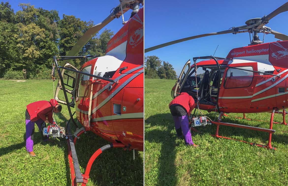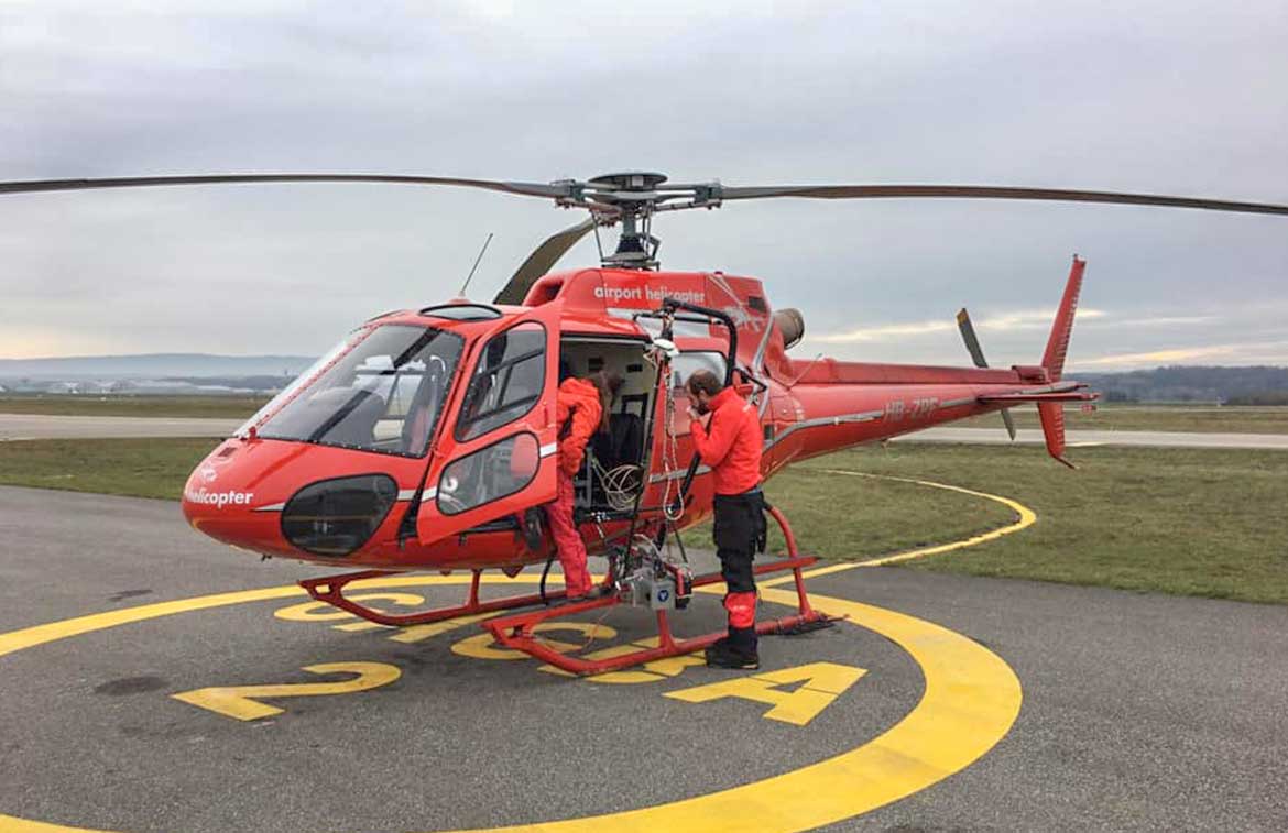
Together with our partner Helimap, we make it possible to size large areas. Helimap, a Swiss enterprise, specializes in helicopter-assisted geodata acquisition and the evaluation of LiDAR and photogrammetric raw data:
- Cartography of corridors
- Identification of complex and inaccessible areas
- Images with high precision and resolution (2-10 cm)
- Map of small to medium-sized areas
- Thermal Images
- The original and unique design of this system gives it unrivalled flexibility in application and the ability to capture a terrain surface both vertically and horizontally.
We will be happy to advise you and make you a non-binding offer with cost information. Call us or send us your wishes by mail.
Call Us now
41 (0)41 930 01 40
Mail Us now
info@airportheli.ch